 |
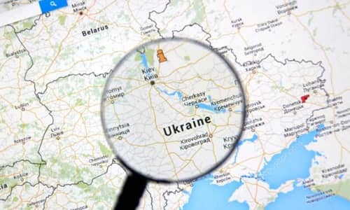
| Researchers use Google Maps to track the invasion of Ukraine |
The Washington Post has published a new report showing how a team of researchers used a combination of Google Maps and radar imagery to track the movements of Russian forces, suggesting they may invade Ukraine before the public knows.
A professor specializing in arms control and non-proliferation at the Middlebury Institute of International Studies in Monterey, California, said Google Maps helped him track traffic jams moving toward the border hours before Russian President Vladimir Putin announced the attack. .
When Jeffrey Lewis noticed traffic near the Ukrainian border at 3:15 a.m., he knew the traffic wasn't a typical rush hour congestion.
Louis discovered the Horde on February 23 - just before the start of the Russian invasion. He turned to Google Maps after spotting Russian tanks and other military vehicles near the same location on radar images provided by Earth observation group Capella Space.
Lewis told the newspaper: “We used to rely on reporters to show us what was happening on the ground. But today you can open Google Maps and see how people are fleeing Kyiv.
These maps use real-time data from smartphones to track traffic conditions. Lewis believes that most of the traffic that Google logs probably doesn't come from Russian soldiers using their phones. Instead, he was tapped from the phones of civilians trapped at roadblocks.
After Russian forces began invading Ukraine, the Washington Post noted that Google Maps showed roads in Kharkiv are closed and subway service is down across the city.
Google Maps has evolved into a tool for visualizing military operations
The Washington Post said it was unclear whether the maps contained SOS alerts (a notification warning users when they approach major crisis areas) or Ukrainian emergency shelters. However, the map shows information about subway stations, some of which are used as emergency shelters.
Damien Mencher, a security and reliability engineer at Google, noted on Twitter that the use of maps in Ukraine has increased since the start of the Russian invasion.
Google Maps seems to have become an important tool for local civilians and soldiers in Ukraine. Besides the outside world's vigilant observation of the devastating situation, the Washington Post report underscores this point.
In addition to accessing social media, Ukrainians can also share their stories with millions of people around the world. It provides insights and information that the outside world can usually obtain through traditional news outlets.
Google has confirmed that it has temporarily disabled some map tools for Ukraine. These tools provide first-hand information on traffic conditions and congestion at different locations.
The company said it was taking measures to keep local communities safe in the country. This decision was made after consulting with sources, including regional authorities.